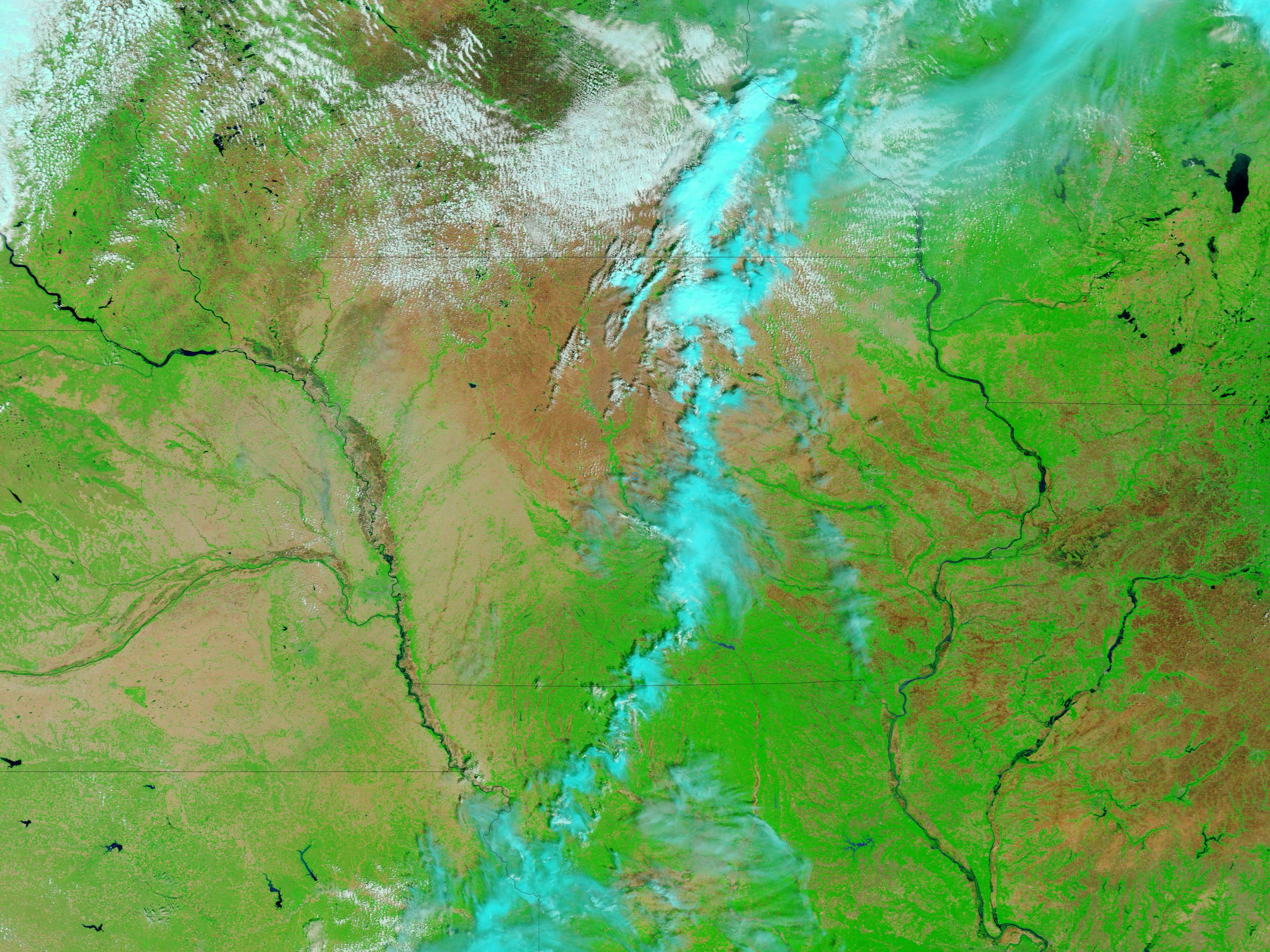
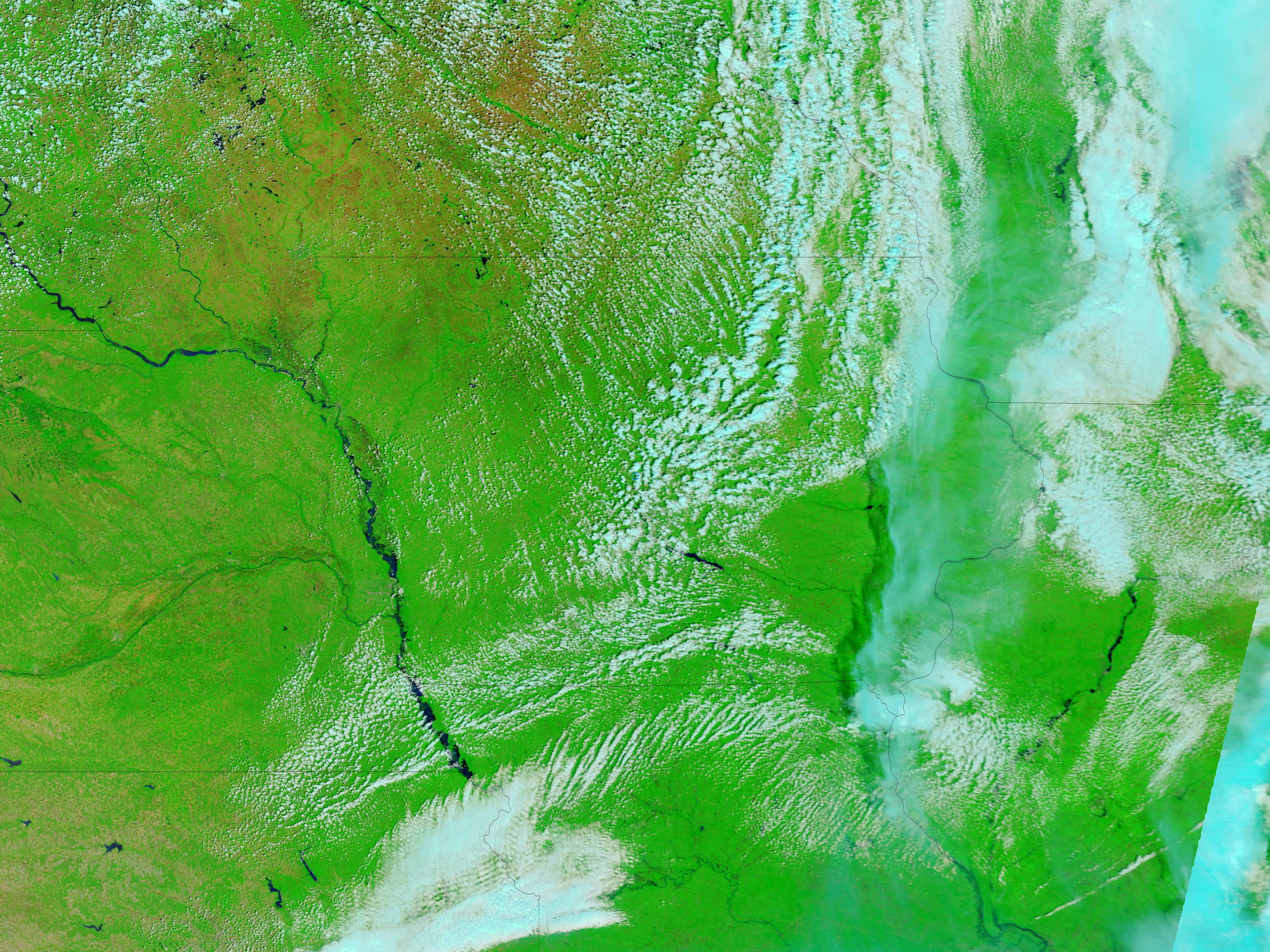
The MODIS Rapid Response Team released the recent MODIS images of the flooding along the Missouri River. The satellite images show the advance of flood waters on the Missouri River between May 30, 2011 and June 27, 2011.
No significant flooding appears along this stretch of the Missouri on May 30. On June 1, flooding had begun to occur near the North Dakota town of Williston, upstream from Lake Sakakawea.
Download for free the May 30, 2011 MODIS image (large image, 4 MB, JPEG).
Download for free the June 27, 2011 MODIS image (large image, 4 MB, JPEG).
Follow Us On Twitter and Facebook


Recent Posts
Popular Posts
- Convert UTM (Easting, Northing) to Lat-Long Formats
- GIS Education Submission
- GRASS GIS Free Tutorial
- Mobile Cadastral GIS 3.0 Android App Released in Taiwan
- Free download Worldview-1 imagery / QuickBird satellite images
- Learn ENVI software online - Tutorial guide
- Free Download S-PLUS software Student Edition
- ENVI Band Math Tutorial, Help Guide
- Valtus Imagery Services
- Free SPOT Images now in USGS Archive
0 comments:
Post a Comment